EMPOWERING PROFESSIONALS TO EFFORTLESSLY GATHER GEOSPATIAL DATA

In an evolutionary world of radical changes, being able to adapt and implement new technologies in your business processes is of vital importance for companies and professionals that want to stand out. Geospatial information is now the driver for business success across many industries and applications.

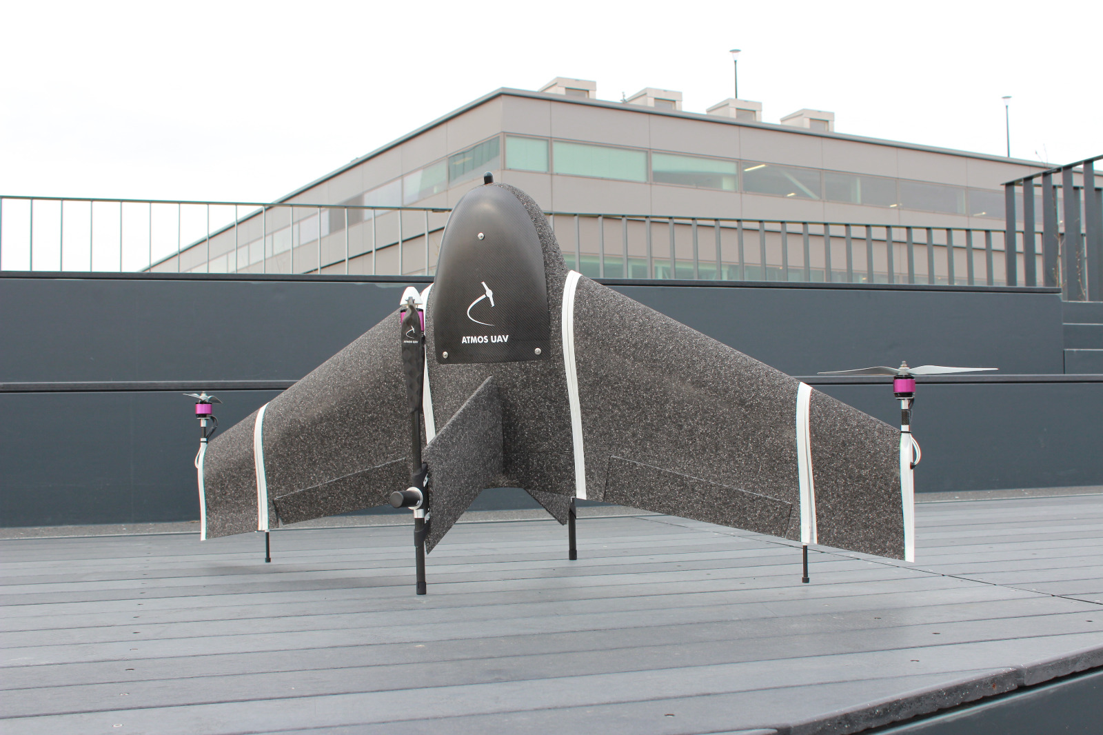
Knowing this at Atmos, we have developed Marlyn, the land surveying tool that will make this data collection effortless and precise.

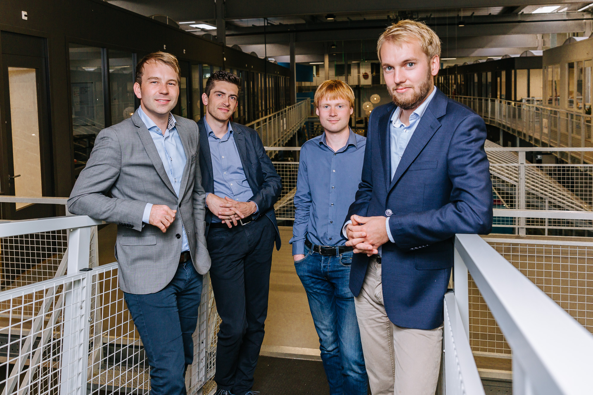
ATMOS UAV WAS FOUNDED IN 2013

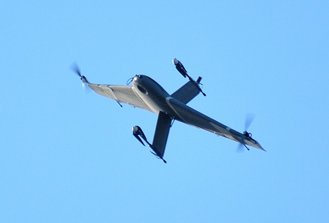
Atmos UAV originated from a university project at the Faculty of Aerospace Engineering (TU Delft). The assignment was to design an Unmanned Aerial System (UAS) that was able to meet the requirements in the UAV Forge Challenge, an international competition that set out to advance drone technology beyond the state of the art. This included strict design requirements, including vertical take-off, large coverage, ability to make observations on the spot, and all within a limited flight time. The team did extensive research on unmanned helicopters and aircraft, which they eventually combined to take advantage of the best of both worlds for mapping and surveying applications.

Inspired by the practical knowledge gained through this project, encouraged by its success and with the support of the faculty of Aerospace Engineering, the project grew into the fast-growing company it is today.

TIMELINE & MILESTONES

It’s been 7 years already… Among multiple awards and continuous research and development projects, these are some of our major milestones:


2019
Atmos UAV establishes a global reach with distributors in 5 continents
2018
Atmos UAV raised capital to fuel further growth and expansion
2017
Being the first surveying solution in 50 years to successfully map the tropical Silhouette island
2016
Patented design approved for high wind resistance VTOL drone
2015
First time Marlyn is used by the Dutch Government for mapping applications
2014
Atmos UAV is honored on the TU Delft Wall of Fame
2013
Company foundation
2012
First drone worldwide to combine vertical take-off and landing (VTOL) with fixed-wing performance in a fully autonomous flight

Our partners

Disruptive Technology Ventures
TU Delft
Septentrio
Wurth Elektronik
Heineken
HSV
YesDelft
Pix4D
SONY
ShipTimized
Agisoft
CJR Renewables
Hacker GmbH
XOAR
Shapeways
EP&C
Naval Group
Micasense
Yokogawa
Ministerie van Defensie
Panasonic
Capturing Reality
SimActive
Looking for a place where ideas become reality?
Join us and make your mark!
Learn more
What's new?
Learn more