Every year, 13 million hectares of forests are lost, while the persistent degradation of dry lands has led to the desertification of billions of hectares. Urgent action must be taken to reduce the loss of natural habitats and biodiversity which are partof our common heritage and support global food and water security, climate change mitigation and adaptation, and peace and security.
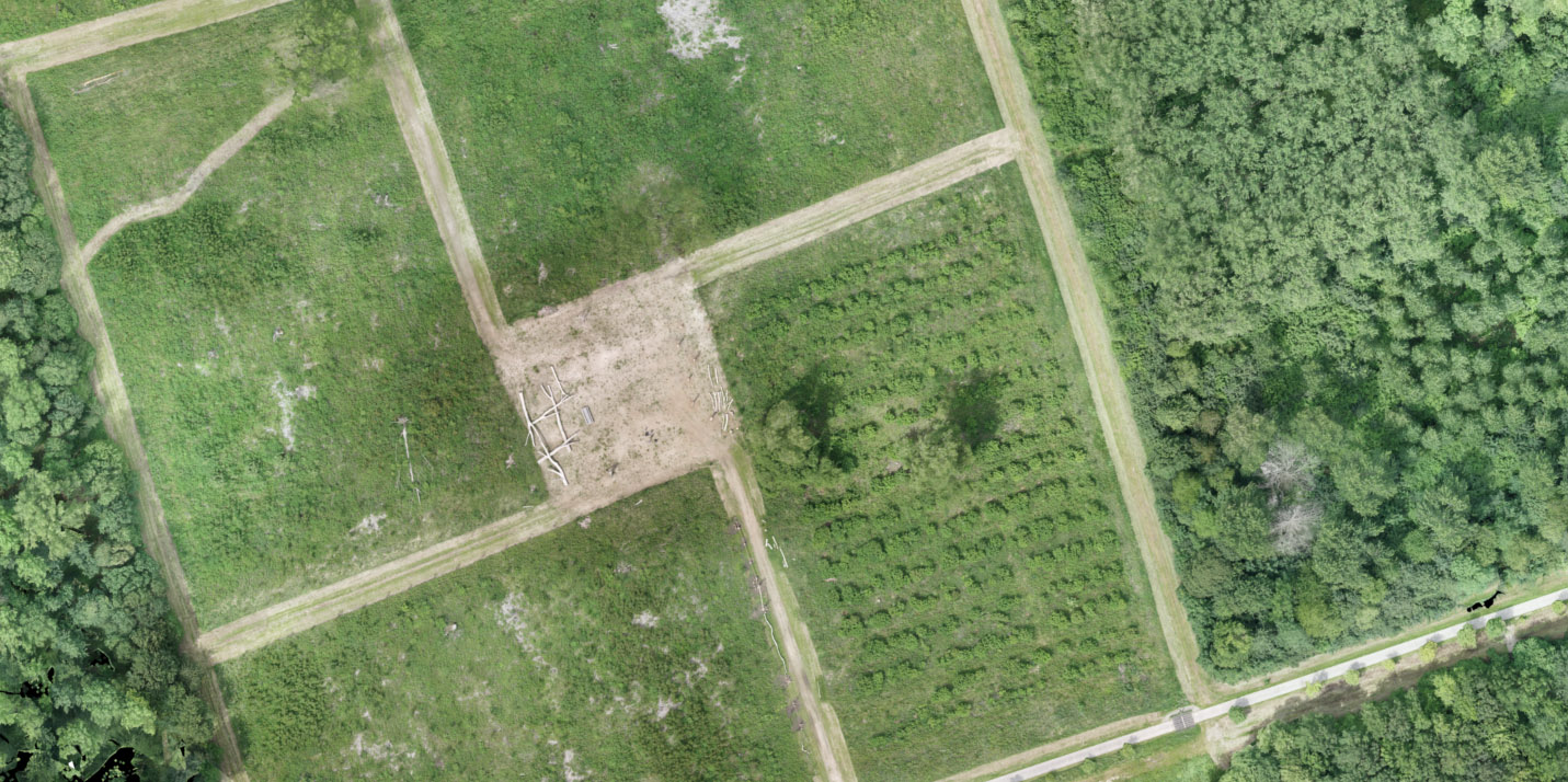
Equipped with a 42 MP SONY RX1 RII and Septentrio’s PPK module, Marlyn mapped a field for reforestation purposes in the Netherlands. The project successfully demonstrated Marlyn’s capabilities to Land Life Company, an organization that wants to address climate change by helping to restore the world’s 2 billion hectares of degraded land.
For this area, Land Life Company needed an accurate model of the field to find out the exact geolocation and height of the trees and precisely depict the 3D information of the Saplings. This output will enable the organization to optimally plan the tree plantation and accurately calculate the amount of biomass, and hence the amount of carbon dioxide absorbed (CO2).
Marlyn, with its VTOL technology, took-off in-between the trees and mapped the area with a GSD of 1,7 cm (0,70 in) producing a model with 2cm absolute accuracy in X, Y, and Z, without the use of GCPs.

