Delft,
Thursday, May 23, 2024
Solar energy is produced by Sun’s light – photovoltaic energy – and its warmth – solar thermal – for the generation of electricity or the production of heat. Inexhaustible and renewable, since it comes from the Sun, solar energy is harnessed using panels and mirrors.
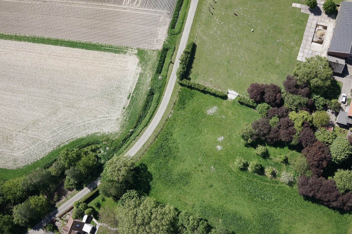
To optimally plan the solar panel installation, a precise topographic survey is necessary. To that end, our VTOL drone, Marlyn, performed 5 flights surveying an area of 2,5 km2 for a client in the Netherlands. Using a 42MP Sony RX1RII, Marlyn surveyed the field with a GSD of 2 cm, achieving an absolute accuracy of 2 cm.
The 3D models produced by these flights provided insightful geospatial information for the site planning, as well as accurate energy estimates by calculating the different angles of sunlight throughout the day and the shadowed by the trees area.
Apart from this set-up phase, Marlyn will also assist in later solar panel inspections (using thermal imagery) providing information for optimal performance and maintenance.

Generated Orthophoto (Pix4D)
