Construction
& Infrastructure.
Boost Site Efficiency
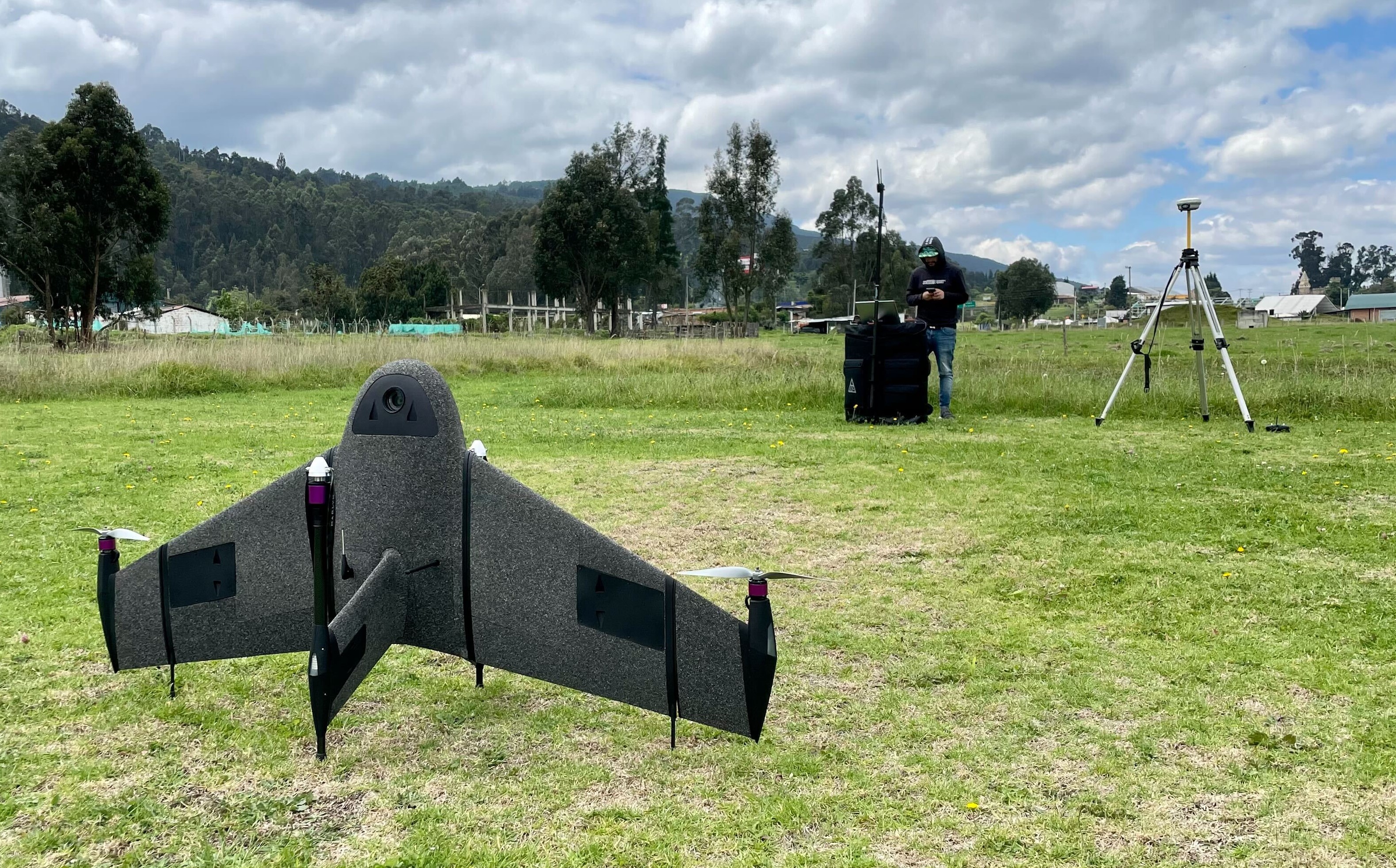
Flying above your site, Marlyn can capture land survey data up to 5 times faster than multirotor drones, and up to 8 times faster than traditional terrestrial survey methods, saving your project valuable time and costs.
Smart Corridor Mapping
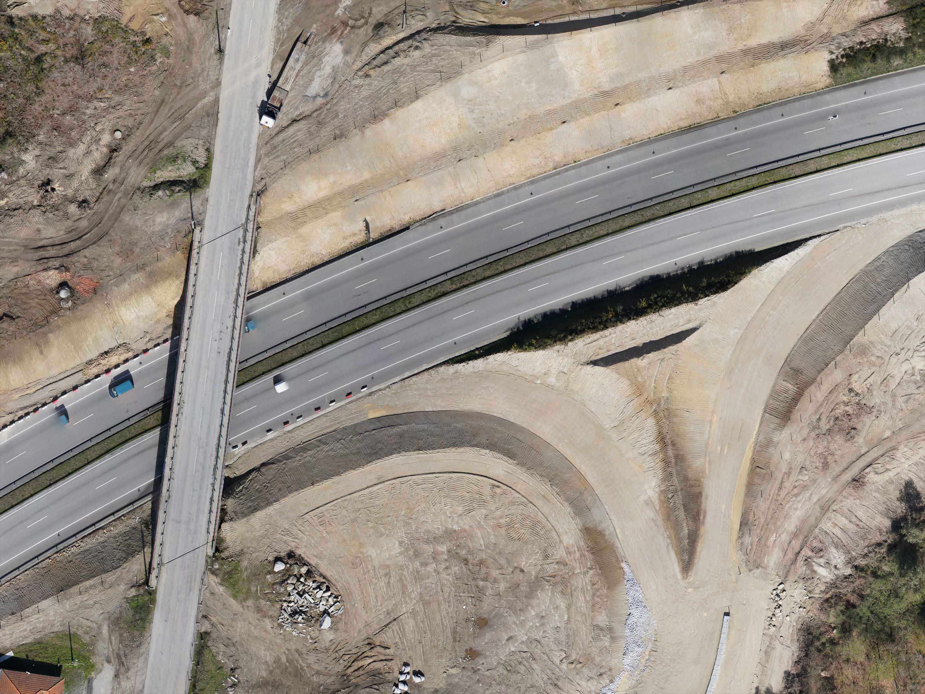
Is your site a railway, pipeline, or a highway? No problem! Smart corridor mapping technology allows you to accurately and easily plan a flight in long linear flight lines without sacrificing time, accuracy or safety.
Get Complete Datasets
From volumetrics to progress tracking and 3D site models, the demands on data for a site are massive. Fortunately a Marlyn survey consists of millions of data points, allowing you to meet all your deliverables in one flight!
Attain High Accuracy
Marlyn is a measurement tool first, and a drone second. This means each design detail has been optimised to maximise the precision of your output data. This means cm-accuracies each time you fly. Don't settle for less!


Frequently Asked
Questions
Do you have special requirements?
We continue to be surprised by the breadth of different applications which are suited to Marlyn. That's why we're always happy to provide a free consult about your unique survey requirements to see if there's a fit. Click below to get in touch!
Contact Sales

.png)

