Entirely designed in-house
We believe in creating a software environment that is completely unique to your Marlyn, not a generic 3rd party platform. That’s why our Marlyn software is 100% designed in-house for your drone.
Intuitive user friendly design
We believe that our users should concentrate on being a surveyor, not a pilot! An intuitive interface and a high level of customisation makes using Marlyn easy, even for those with no previous experience.
Included for you in the Bundle
Sick of Manufacturers charging extra for essential software? With Marlyn, all our required in-house software is included when you buy the drone, with no extra costs, fees or subscriptions added!
Designed with simplicity in mind
Meet Navigator
Easy to Use
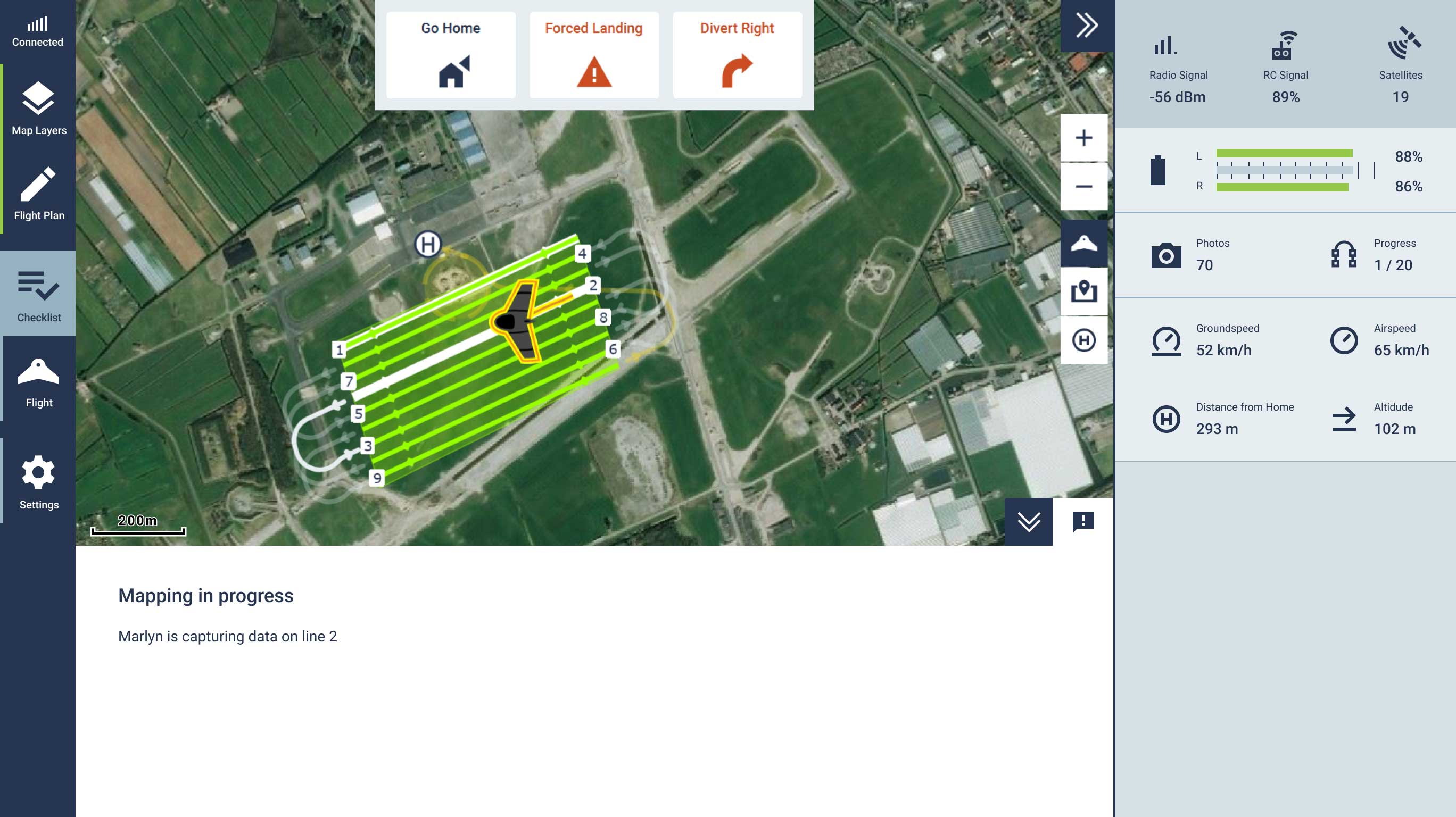
Need the survey done right? Navigator has been designed to be intuitive and easy to use, giving you the freedom to focus on the job at hand. Just set your mapping area and survey parameters, and the software does the rest!
Fully Customisable
Every surveying job is different, that's why with Navigator you have full control over the parameters you need to get the job done right, from overlap to route selection to GSD to cross pattern flights, it's all there at your fingertips!
Safe & Secure
Safety is paramount on any UAV mission. That's why Navigator provides a full suite of safety options for your flight plan, a full pre-flight checklist, and a range of in-flight safety options, ensuring your Marlyn always comes home.
Work Offline
Once you're prepped and ready to get out in the field, simply save your flight plan and download your background maps to your tablet or laptop and you're set to go. No 4G or Wi-Fi connection required, giving you complete freedom!
Terrain-Aware
Flying in undulating terrain? No problem! With Navigator you can upload a WCS layer and adjust your flight plan accordingly. This ensures a constant GSD across your model and avoids any mishap with changing ground levels!
Corridor Mapping
Planning a survey of a railway, pipeline, or electrical grid? We have you covered! With Navigator you can fly a 'smart corridor', flying your linear mapping regions without the constant circling and re-adjusting as with other drones.
GeoTagger; Our location processing software
Output and Compatibility.
Quality is our mission
We’re always working on new features and improvements
Feedback is the fuel for our innovation machine. Based on the feedback of our users and resellers, we're constantly working on new ways to make your surveying experience easier.
We thoroughly test before releasing new software
Our Software packages are put through rigorous user testing before making it out to you in the field. This means that any bugs and issues are well out of the way before it gets to you!
Always the newest technology
Do you always need the newest tech? We have the product for you! Atmos provides unlimited updates of your software free of charge, meaning you always get the latest and greatest features.

