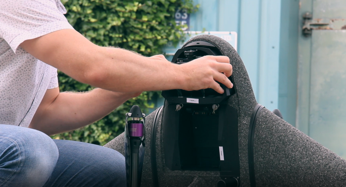
Mining
& Aggregates.
Improve the Efficiency of Your Site
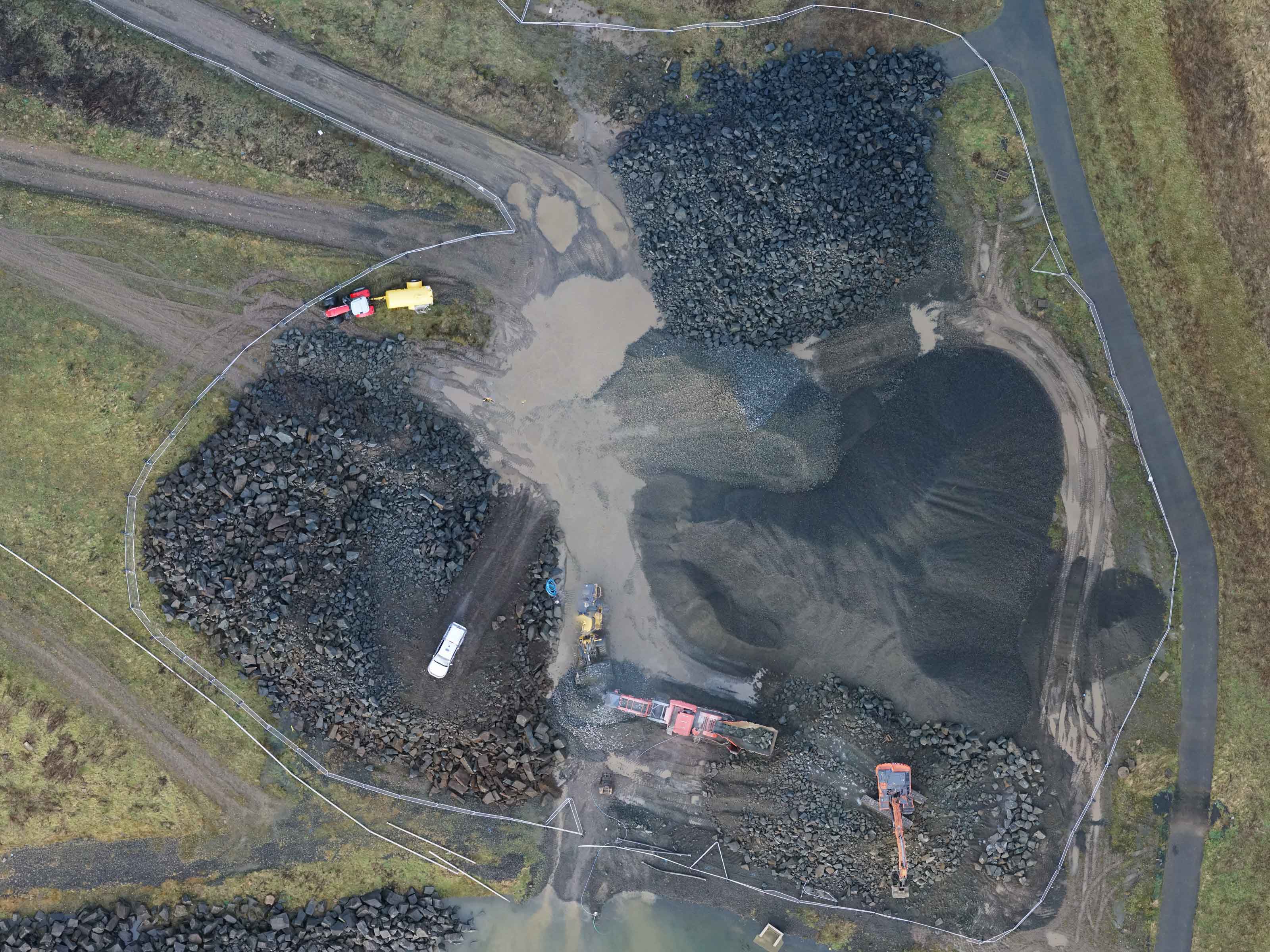
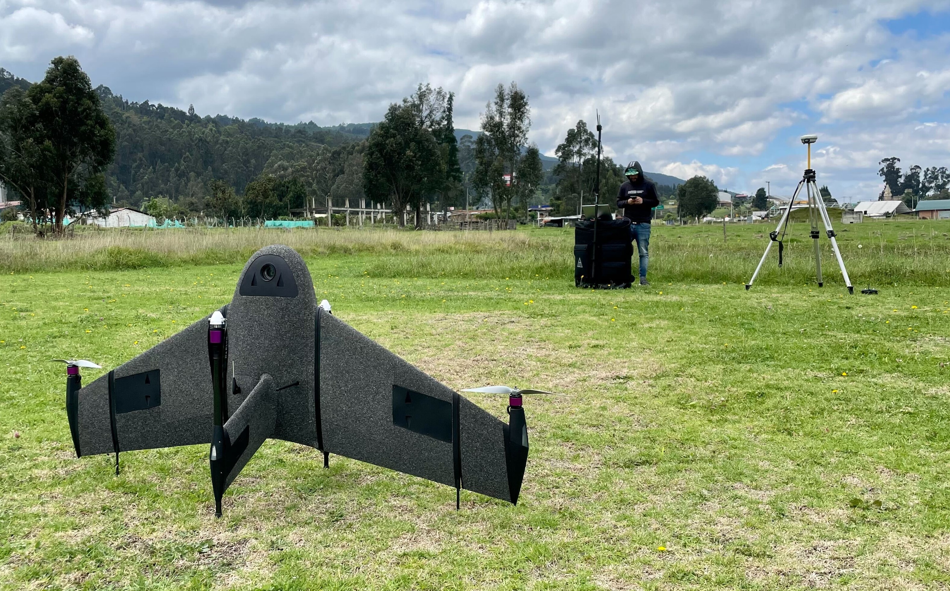
With Marlyn your surveyors are able to cover an area as large as 150Ha (370Acres) in one flight with complete data coverage. Compared to land-based survey methods, this can easily improve the efficiency of data capture at your facility.
Identify and Mitigate Hazards
By capturing millions of data points, Marlyn is able to detect unstable geological features before they become a threat. Completely remote operation also means no operators are risked to accomplish surveys, making your entire site safer.
Swift Turnaround of Data
Need a pre/post-blast volumetric calculation? In a rush to finish your quarterly report? With quick data extraction, easy software compatibility and standardised data management, you’ll have no problem keeping up with the pace on site.
Explore without Boundaries
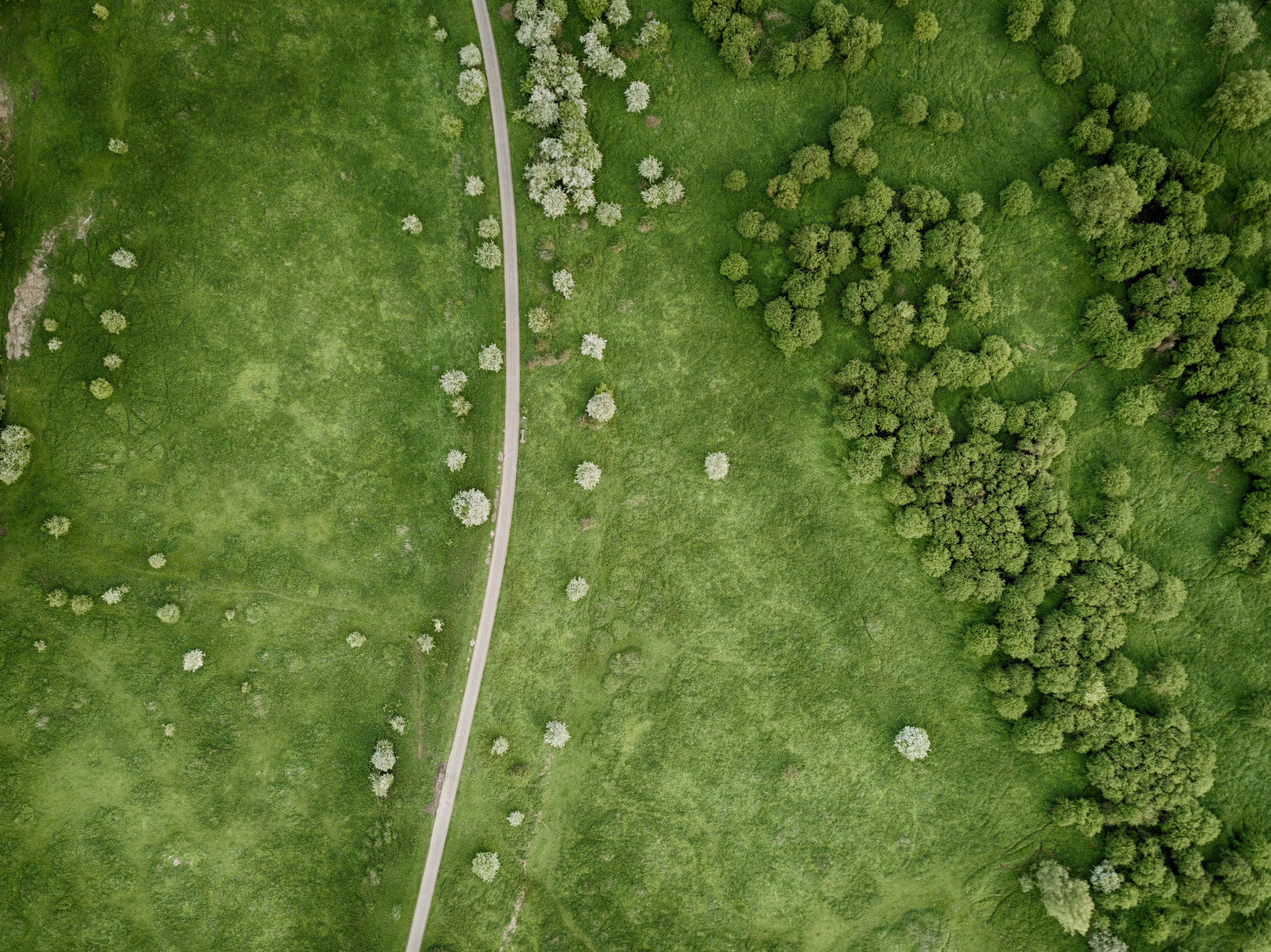
Mining Exploration surveys can be tough to accomplish on foot, as these are often in isolated, large areas. With Marlyn you can avoid these issues by capturing DTM’s and orthophotos over hundreds of hectares of ground without leaving the home point!


Frequently Asked
Questions
Do you have special requirements?
We continue to be surprised by the breadth of different applications which are suited to Marlyn. That's why we're always happy to provide a free consult about your unique survey requirements to see if there's a fit. Click below to get in touch!
Contact Sales
.png)
