Precision Agriculture.
Improve your Farm’s Efficiency
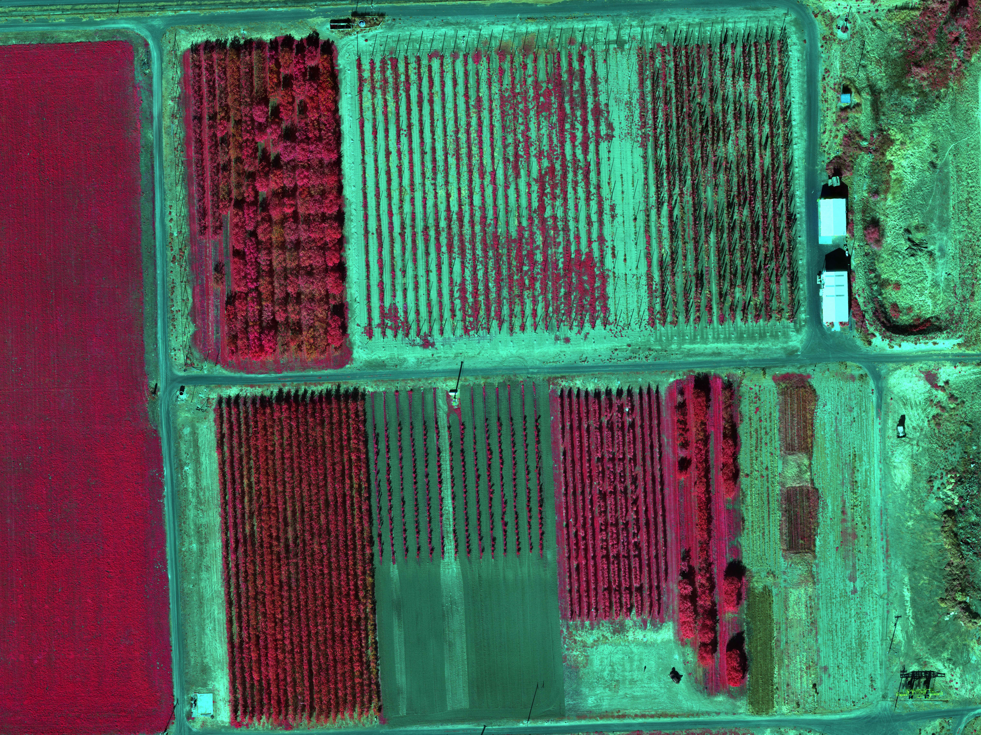
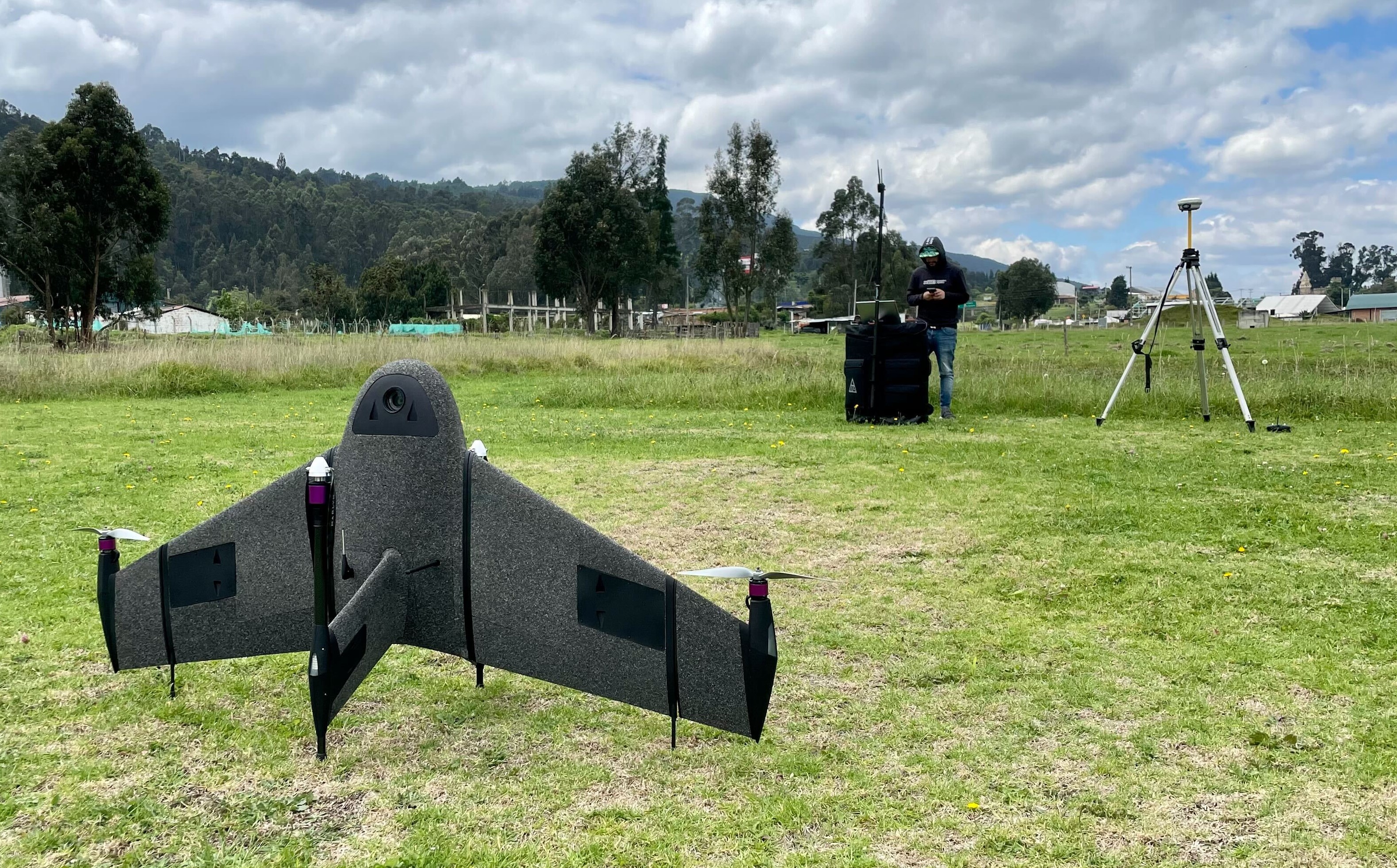
Through in-depth data collection over areas as wide as 150Ha (370acres) in an hour's flight, Marlyn enables you to get the healthiest crops you can grow and attain your best-ever yields.
Detect Disease and Stress Early
Marlyn's multispectral sensors can provide you with accurate NDVI/NDRE measurements of your crop, empowering you to detect & mitigate problems before they become an issue!
Plan and Monitor Irrigation & Fertilization
NDVI/NDRE isn't just for disease and stress, these indices can also precisely pinpoint required adjustments of Irrigation & Fertilization, saving you time and maximising your yield.
Accurately Track Farm Performance
With integrated PPK and Downwelling Light Sensor, Marlyn's multispectral data is both accurate and repeatable, allowing you to precisely track your farm's progress over time.


Frequently Asked
Questions
Do you have special requirements?
We continue to be surprised by the breadth of different applications which are suited to Marlyn. That's why we're always happy to provide a free consult about your unique survey requirements to see if there's a fit. Click below to get in touch!
Contact Sales

.png)
.jpg)
